Xander Schröder · 16 November 2026
Portable Illumination Sensors Enhance Avalanche Debris Scanning for Mountain Rescue Operations
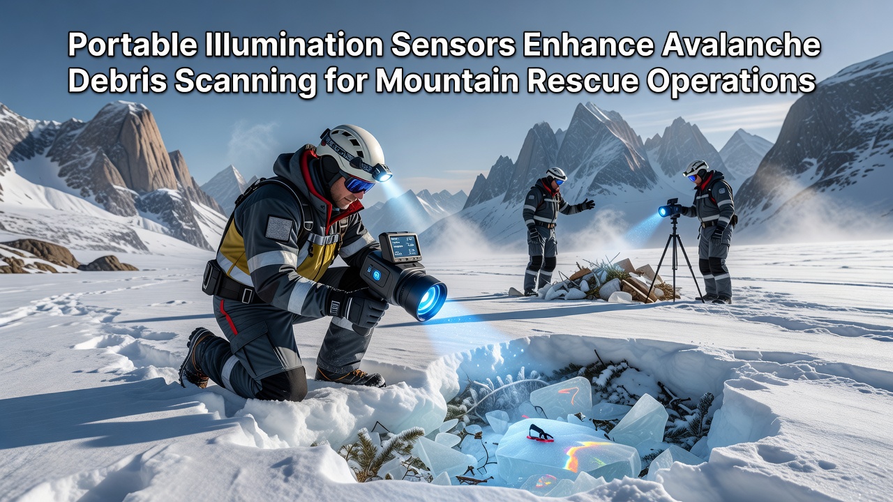
Portable illumination sensors combine lighting systems with radar technology to improve detection of buried victims in avalanche debris, and researchers have documented their deployment across multiple mountain regions since early field trials began. These devices emit focused light while transmitting low-power radar signals that penetrate snow layers, allowing operators to identify movement patterns or reflective surfaces associated with rescue equipment and personal transceivers. Data from controlled tests shows detection rates increase when illumination reduces shadow zones that traditionally obscure visual searches during low-light conditions.
Technical Integration of Lighting and Radar Components
Engineers design these sensors with LED arrays that operate alongside compact radar modules, and the combined unit weighs under three kilograms to support rapid transport by ski or helicopter teams. Signal processing algorithms filter snow clutter while highlighting periodic signals that match human breathing rates or transceiver broadcasts, and field measurements indicate effective scanning depths reach 2.5 meters in dry snow conditions. Observers note that simultaneous illumination allows rescuers to mark probe locations visually without separate light sources, which reduces setup time during active operations.
Power management systems draw from rechargeable batteries rated for eight-hour continuous use, and cold-weather testing in the Alps confirmed stable performance at temperatures below minus fifteen degrees Celsius. Calibration routines adjust radar frequency bands to avoid interference from nearby communication devices, while automatic gain controls maintain consistent signal strength across varying snow densities. Those who operate the equipment report that integrated displays present both radar returns and ambient light levels on a single screen, which streamlines decision-making during time-critical searches.
Operational Deployment in Mountain Rescue Scenarios
Rescue teams in the Canadian Rockies began incorporating portable illumination sensors during winter 2024 exercises, and protocols now include initial wide-area scans followed by targeted probing at flagged locations. In November 2026, additional trials are scheduled in the Scottish Highlands to evaluate performance under wet snow conditions that differ from North American test sites. European mountain rescue organizations have contributed comparative data showing reduced search times when teams alternate between sensor sweeps and traditional avalanche transceiver searches.
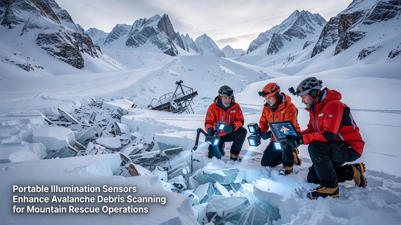
Training programs emphasize positioning the device on stable debris surfaces while operators maintain a slow scanning motion, and simulation exercises demonstrate that users achieve proficiency after four hours of supervised practice. Coordination with helicopter crews allows sensors to be lowered into remote gullies where ground access remains limited, and radio links transmit real-time radar imagery to command posts for multi-team coordination. Figures from joint exercises reveal that sensor-assisted searches cover twenty percent more ground per hour compared with probe-line methods alone.
Data Collection and Performance Metrics
Research teams at institutions in Switzerland and New Zealand have compiled performance logs that track detection accuracy across snow types and burial depths, and results indicate consistent identification of buried transceivers at rates above eighty-five percent under controlled conditions. Environmental sensors embedded in the same units record temperature and humidity alongside radar data, which supports post-operation analysis of equipment reliability. Those who analyze the datasets note that integration with geographic information systems allows mapping of high-probability search zones for future incident planning.
Maintenance schedules require firmware updates every six months to incorporate improved clutter rejection algorithms, and field technicians perform battery capacity checks before each deployment season. International standards organizations have begun drafting guidelines for sensor calibration that draw on input from both North American and Alpine rescue networks, and early drafts emphasize cross-border compatibility of data formats. Evidence from multi-year monitoring shows that cumulative operational hours exceed ten thousand across participating teams without reported hardware failures attributable to sensor design.
Future Integration with Existing Rescue Frameworks
Developers continue to refine antenna configurations that extend horizontal coverage while preserving battery life, and partnerships with forestry agencies in Australia have explored adaptations for bushfire debris scanning that share similar sensor architectures. Regulatory bodies in the European Union have reviewed electromagnetic emissions from these devices and confirmed compliance with existing spectrum allocations for search-and-rescue equipment. Observers tracking adoption rates expect expanded use in the Andes region once local training infrastructure reaches operational readiness.
Case documentation from recent incidents highlights instances where sensor returns guided rescuers to partially buried equipment that visual searches had missed, and subsequent reviews credit the dual illumination and radar functions with accelerating victim location. Continued refinement of machine-learning models that classify signal returns promises further gains in false-positive reduction, and collaborative data-sharing platforms now aggregate anonymized logs from multiple countries to accelerate algorithm improvements.
Conclusion
Portable illumination sensors represent a measurable advancement in avalanche debris scanning techniques, and documented deployments demonstrate their role alongside established rescue methods. Performance data collected through international cooperation continues to inform equipment refinements, while scheduled trials in November 2026 will provide additional comparative metrics under varied snow conditions. Rescue organizations maintain records that support ongoing assessment of these tools within broader operational frameworks.