Avery Lorenz · 3 November 2026
Dual-Purpose Lighting and Sensing Equipment Tracks Bird Movements Near Wind Farms
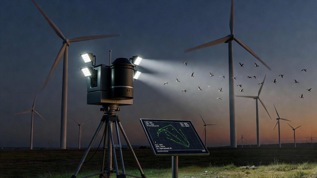
Equipment that merges illumination with radar detection now supports detailed studies of bird flight patterns near wind farms, particularly during periods of reduced visibility when traditional observation methods fall short; researchers deploy these integrated units along turbine arrays so that lights maintain operational safety while sensors capture positional data on avian traffic. The systems operate by emitting controlled light beams that meet regulatory standards for aviation marking, yet the same housing contains compact radar modules tuned to detect wingbeats and flight trajectories at ranges up to several hundred meters.
How Combined Illumination and Radar Functions Operate
Each unit contains an array of low-intensity LEDs paired with a solid-state radar transceiver, and the two components share a common power supply and data bus so synchronization remains precise across extended field deployments; light output stays within thresholds required by aviation authorities while the radar sweeps at frequencies optimized for small moving targets. Data streams feed into onboard processors that timestamp detections against light intensity levels, allowing analysts to correlate bird activity with ambient conditions recorded simultaneously.
Deployment Practices at Operational Wind Sites
Technicians position the devices on meteorological towers or turbine nacelles so coverage overlaps flight corridors identified through prior acoustic surveys, and multiple units form a network that transmits readings to a central server every few seconds. In regions with seasonal migration peaks, crews increase sampling rates during twilight hours when visual counts become unreliable yet radar returns stay consistent. One installation along a coastal ridge in the Pacific Northwest recorded over 12,000 individual tracks during a single autumn passage window, providing granular altitude and speed distributions that ground observers alone could not obtain.
Data Collection During Low-Light Periods
Radar returns persist through fog, drizzle, and complete darkness, whereas optical cameras require supplemental lighting that may alter natural behavior; the dual-purpose design avoids this interference because illumination remains at levels calibrated for turbine marking rather than wildlife attraction. Software filters isolate avian signatures from insect swarms or turbine blade returns by analyzing Doppler signatures and trajectory curvature, and nightly summaries export directly into geographic information systems used by environmental consultants.
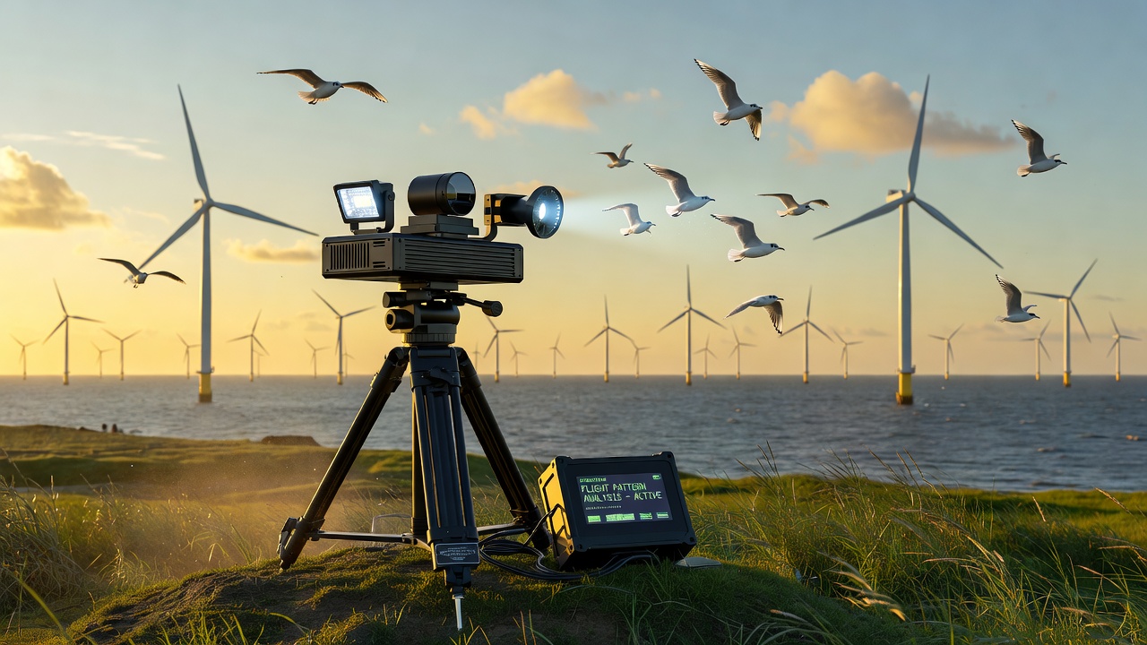
According to reports compiled by the Bureau of Ocean Energy Management, such integrated monitoring has clarified how certain species adjust flight heights when passing turbine fields under varying wind shear conditions. Figures released in late 2025 showed average nocturnal altitudes rising by 18 meters compared with daylight measurements at the same sites, prompting adjustments to cut-in speeds during peak migration windows.
Integration with Broader Environmental Monitoring Programs
Agencies in Canada and Australia have begun incorporating similar hardware into regional wildlife assessments, and the resulting datasets feed into models that predict collision risk across proposed project layouts. The Canadian Wildlife Service maintains an open repository of radar-derived track files that researchers combine with weather station logs to examine how frontal systems influence passage timing. In November 2026, an international workshop hosted by the same agency will present comparative results from North American and Australian arrays, focusing on calibration methods that standardize detection probabilities across different radar models.
Calibration and Validation Procedures
Field teams conduct periodic validation flights using small drones fitted with radar-reflective materials to confirm detection thresholds remain stable after months of exposure to salt air or temperature swings. Cross-checks against acoustic recorders placed at the same elevations verify that the majority of radar-classified events correspond to vocalizing species known to migrate through the area. These procedures produce confidence intervals that accompany each published track density map, allowing planners to weigh uncertainty when siting new turbines.
Future Refinements and Expanded Applications
Manufacturers continue to reduce unit weight and power draw, enabling longer autonomous operation on battery-solar combinations that eliminate teh need for grid connections at remote ridgelines. Signal processing algorithms now incorporate machine-learning classifiers trained on labeled datasets from multiple continents, improving species-group identification without requiring visual confirmation. Observers note that the same platforms can log bat activity once firmware updates adjust pulse repetition rates, extending utility beyond avian studies while maintaining the original lighting function.
Conclusion
Integrated lighting and radar equipment supplies continuous, weather-independent records of bird movements near wind energy installations, and the datasets support evidence-based decisions on turbine operation and site planning. As networks expand and analytical tools mature, the approach supplies standardized inputs for regional and international assessments of renewable energy infrastructure effects on wildlife.